
Before choosing a countryside dog walk, establish what kind of access each part of the route uses. A public footpath, an area of open access land and a path used with the landowner's permission are not interchangeable descriptions. Confirm the actual route and current dog requirements rather than treating a visible track or an app line as permission.
This guide introduces the distinction for planning, chiefly using current official guidance for England. It is not a determination of rights over a particular parcel of land or advice for an access dispute. Rules and access frameworks differ across countries, including within the UK. Use the relevant authority for the place you intend to visit.
A route and an area answer different questions
A mapped walk can cross several kinds of land while appearing as one continuous coloured line on your phone. The line tells you the suggested journey; it does not necessarily explain the basis of access at every point. Start by asking what each section represents.
The GOV.UK public-rights-of-way guide distinguishes footpaths for walking from routes such as bridleways, which also accommodate horse riders and bicycles. The route category is about permitted use, not a promise of a particular surface, width or suitability for your dog.
By contrast, the government's open-access guidance describes access to some land in England without having to remain on paths. It also identifies exceptions, restrictions and separate dog requirements. Do not turn that general description into an assumption that any attractive field or hillside is available.
Keep permissive access in its own category
A route can also be available because a landowner has agreed to public use. GOV.UK describes this as permissive access and points walkers towards the relevant signs. It is a different basis from assuming a path is a public right of way.
When visitor information uses that term, keep it in your route note. Read the actual conditions and current opening information. Do not erase the distinction by rewriting every available path as public access when recommending the walk to someone else.
The important planning habit is preserving what the source actually establishes. If you cannot identify the basis of a connecting section, leave it unresolved and ask the responsible authority or manager. Calling it a shortcut does not answer the access question.
Separate permission from physical suitability
Even when access is confirmed, the route may not suit the particular group. A walking route can involve features that require further research for your dog or a companion. Permission and practicality belong in separate fields rather than one general dog-friendly rating.
Write the relevant physical questions in ordinary terms. Can the actual group use the entrance? Does the route information describe a feature that matters to your dog? Is the return arrangement practical? Ask about the feature rather than requesting a universal assurance that the whole walk is easy.
Do not use a legal category as a product recommendation either. A public footpath is not proof that a particular harness, lead or dog mat makes the route manageable. Choose equipment around confirmed individual needs and its instructions, not around the confidence of a label on a map.
Read the map key before interpreting the line
Different maps and apps can display suggested routes, recorded tracks and access information differently. Read the key for the actual map you are using. A coloured line may have a meaning specific to that tool, rather than the meaning you remember from another map.
Check whether you are looking at an official route description, a user's recorded outing or a suggested connection. Those can all be useful sources of questions, but they are not the same evidence. A record that someone walked there does not by itself establish current permission for your outing.
If a route is exported or shared, keep the relevant source and date with it. A screenshot detached from its key and context can make a useful map harder to interpret. Preserve the information that explains the line, not just the line itself.
Break a mixed route into sections
For planning, divide the walk at meaningful changes: leaving a public road, entering a signed path, reaching an access area or using a connection described by a visitor attraction. You do not need dozens of tiny segments. Focus on places where the basis of access or required decision changes.
Give each section a short description and source. For example, “entrance to junction, council route information” is more useful than “first bit.” Keep the name specific enough that another person can identify which question remains open.
Then look at the transitions. A confirmed path and a confirmed destination do not automatically establish the connecting land between them. The whole journey needs to work, including the approach from transport and the way back. A missing connection can matter more than the length of the scenic section.
Check dog requirements separately
Do not infer off-lead permission from the fact that people can walk there. Read the current dog-specific information for the exact section. Local rules and the type of access can affect the answer; the dog's individual needs remain a separate consideration.
For example, GOV.UK's English open-access guidance specifies a lead no longer than two metres between 1 March and 31 July and around livestock at all times. That is not a universal rule for every public footpath. Read the full official guidance, including its distinctions and any relevant local restrictions.
Keep the rule tied to its place and source in your notes. If two sources appear to conflict, ask an answerable question rather than selecting the easier interpretation. This article does not resolve a particular restriction, assistance-dog situation or legal dispute.
Do not expand a route into adjacent land
An appealing viewpoint, picnic spot or apparent shortcut may lie beyond the section you have checked. Treat that as a new access question. A permitted route through a landscape does not mean every nearby space becomes part of your outing.
Similarly, an access area can include places where the general right does not apply. Follow the official map, current information and relevant notices rather than assuming a broad colour wash resolves every boundary. If the distinction matters, seek clarification before using the uncertain part.
Enjoyment does not require reaching every feature visible from the path. You can notice a place, research it later and decide whether a future visit works. That is more useful than turning curiosity into an improvised detour you cannot explain afterwards.
Use signs with context, not selective photographs
When reading a notice, identify which route, entrance or area it concerns. Keep the full wording available where it changes your plan. A close-up of one attractive phrase can omit the map or conditions needed to understand it.
If you need to ask about a notice, give the location and date and describe what is unclear. Do not present a cropped image as proof of a broad conclusion about all access in the area. The relevant authority can answer a precise question more readily than a general argument.
Do not damage, remove or alter a sign because you disagree with it. Report a concern through the appropriate channel. An ordinary walk is not the occasion to conduct an access dispute while managing a dog and companions.
An illustrative three-section walk
Imagine a fictional route that begins on a public footpath, continues into an officially identified open-access area and returns through a permissive connection. The walker initially writes a single note saying dogs welcome. That loses the information needed to understand the different sections.
Instead, they identify each section, its current source and the relevant dog information. They ask about an unclear condition on the permissive connection before relying on it for the return. The finished plan may still be simple, but its simplicity comes from resolving the questions rather than hiding them.
This is an illustrative example, not a real route or legal assessment. No particular landowner, council or destination is being described. The point is that a continuous walk can depend on more than one kind of access, and one reassuring label cannot explain the whole journey.
Ask the right organisation a precise question
Use the official contact route appropriate to the issue. Include the exact location, intended section, source you have read and question that remains. Avoid asking someone to certify the suitability of your individual dog when the actual information gap concerns a path or notice.
A useful enquiry might ask where the current official record for a named section can be found, or whether a particular visitor route includes the connection shown in the supplied map. These are illustrative questions, not statements about any actual route.
Keep the answer with the source and date. If no reply arrives, the missing information remains missing. It is not an implied permission or proof that access is refused. Choose another confirmed option if the uncertainty prevents a practical decision.
Keep a small route-evidence note
Use columns or a short list for the section; access description; official source; dog requirements; relevant physical question; and unresolved point. This is not a legal register. It is a way to stop one part of the route being researched carefully while another is assumed.
Use plain wording rather than a score. “Current connection not confirmed” tells you what to do next. A numerical dog-friendliness rating cannot explain whether the missing information concerns permission, terrain, another user or the dog's individual care plan.
Before travel, check the information that could have changed. Preserve the original source rather than repeatedly copying a summary through different messages. A date and direct link make a shared route note easier to update when somebody notices a relevant change.
Choose an alternative without inventing a diversion
If the route cannot be confirmed or no longer suits the group, use an appropriate permitted alternative or choose another outing. Do not assume an adjoining track solves the problem. It can introduce a second access question while appearing to make the journey shorter.
Agree that possibility with companions before departure. A person expecting a particular viewpoint may otherwise put pressure on the handler to continue. The dog should not become the reason everyone improvises through uncertain land to preserve an optional plan.
Keep the alternative modest. It does not have to reproduce the same distance, landscape and destination. A different confirmed walk can serve the day better than an elaborate replacement assembled while standing at an unfamiliar junction.
Share a route without overstating the evidence
When telling someone about an outing, identify what you actually used and when. Share the official information alongside your experience. A personal recommendation can be warm and useful without claiming permanent access or universal suitability.
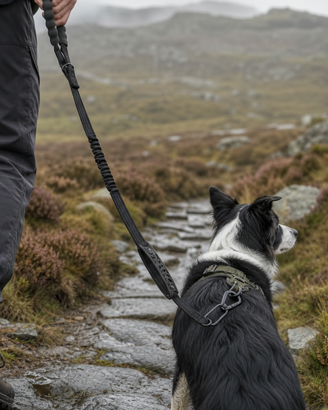
Make the limits clear in photographs too. An existing Moorland brand image illustrates outdoor walking; it does not depict the land discussed here or prove an access category. A landscape picture records a view, not the legal and practical conditions outside the frame.
If you have only researched a route, say so rather than writing as though you visited. If you walked one section, do not imply that the entire suggested circuit was checked. Accurate scope is more helpful to another walker than an enthusiastic but unbounded endorsement.
Make access part of ordinary preparation
You do not need to become a rights-of-way specialist to ask better planning questions. Start with the actual section, preserve the source's description and keep dog rules distinct from general access. Ask for help when the answer affects the outing.
For a genuine access dispute, seek the appropriate authority or qualified advice. This general introduction cannot establish rights from a photograph, historical use or a brief description. For immediate danger, use the appropriate emergency response rather than a route-research checklist.
The useful distinction is between where a route goes and why you may use it. Confirm both, then consider whether the actual group can appropriately enjoy the walk. A clear, modest plan gives you more freedom to appreciate the countryside without relying on an assumption at the next boundary.

Leave a comment
This site is protected by hCaptcha and the hCaptcha Privacy Policy and Terms of Service apply.